High-Resolution Site Characterization
See What's Beneath
the Surface
Our high-resolution site characterization logging tools collect real-time lithologic, hydraulic, and contaminant data. Allowing you to make faster, smarter decisions for your environmental and geotechnical investigations.
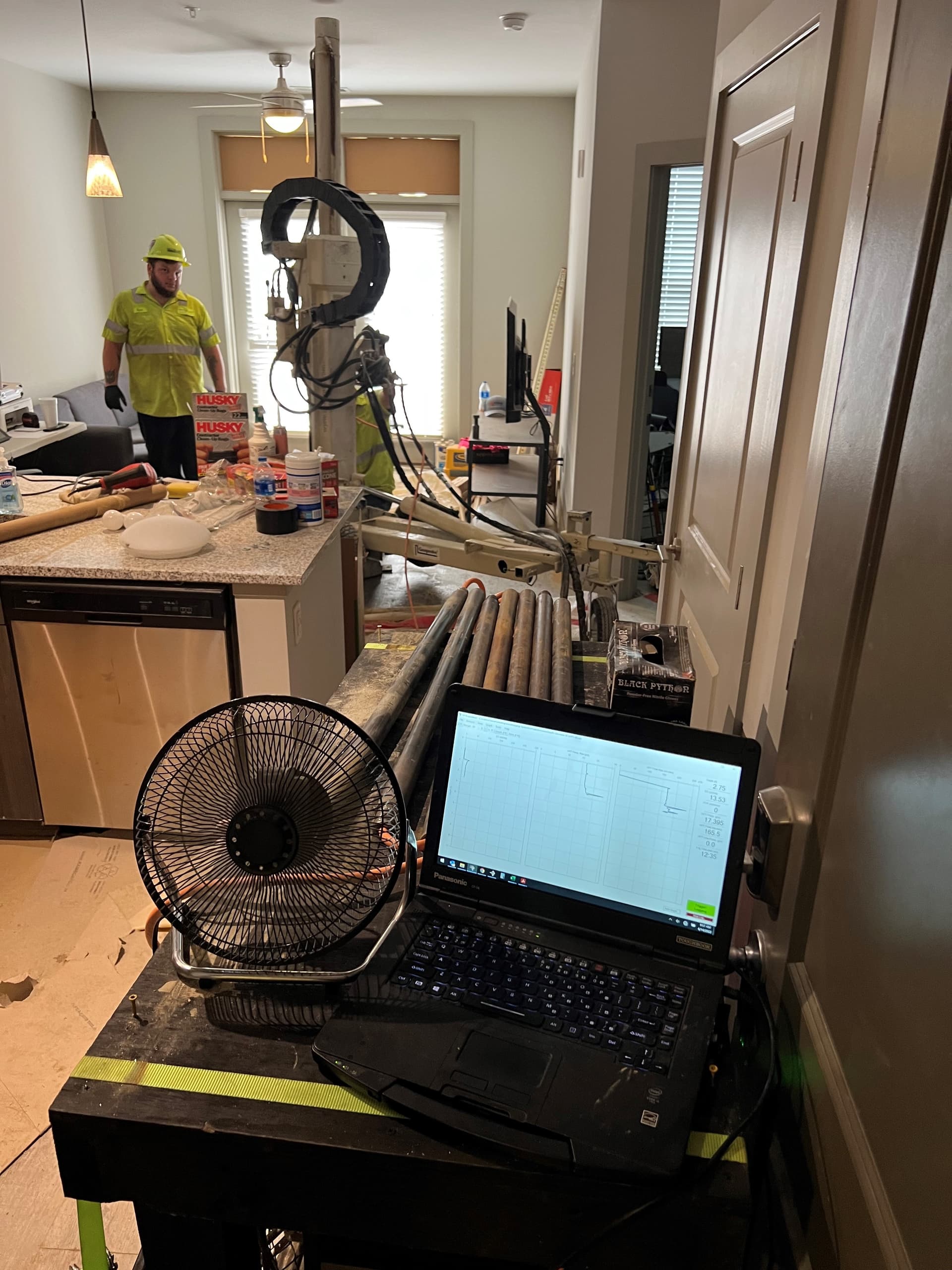
Real-time delivery
Your data, the moment it's collected.
As our HRSC logging tools log data in the field, it can be streamed directly to your project dashboard. Your team stays connected to the investigation as it unfolds.
No more waiting for overnight emails or static PDF reports. Interactive log viewers, borehole maps, and live status tracking — accessible from any browser, 24/7.
See the dashboardContinuous in-situ data
Precise Data. 20 Times Per Foot.
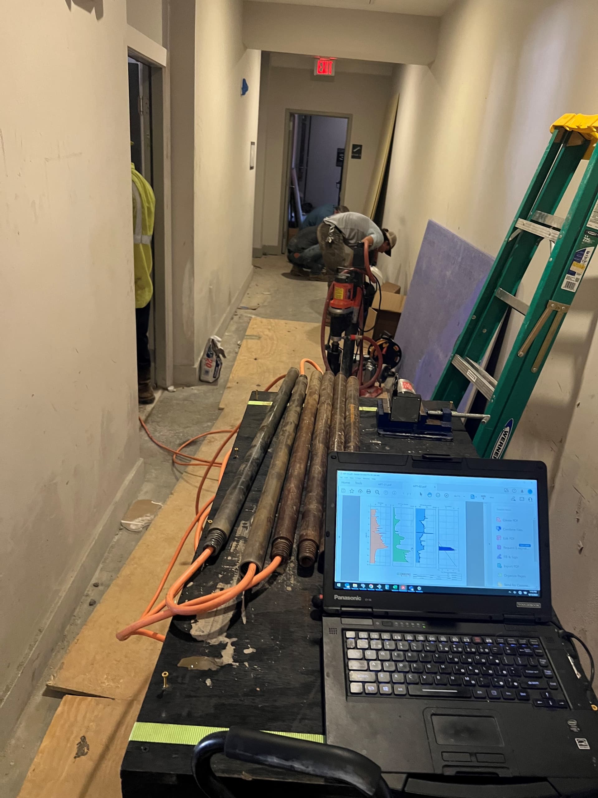
HRSC logging tools measure continuously as they advance through the subsurface, recording lithologic, contaminant, and hydraulic data 20 times per foot. In one push, you get vertical and horizontal delineation — identifying preferential pathways, contaminant mobility, and clean-to-impacted transitions.
With thousands of data points per log from multiple data streams, we are able to develop highly accurate conceptual site models — rapidly, in a single site visit.
Learn about our HRSC toolsFinal deliverables
From raw data to 3D site models.
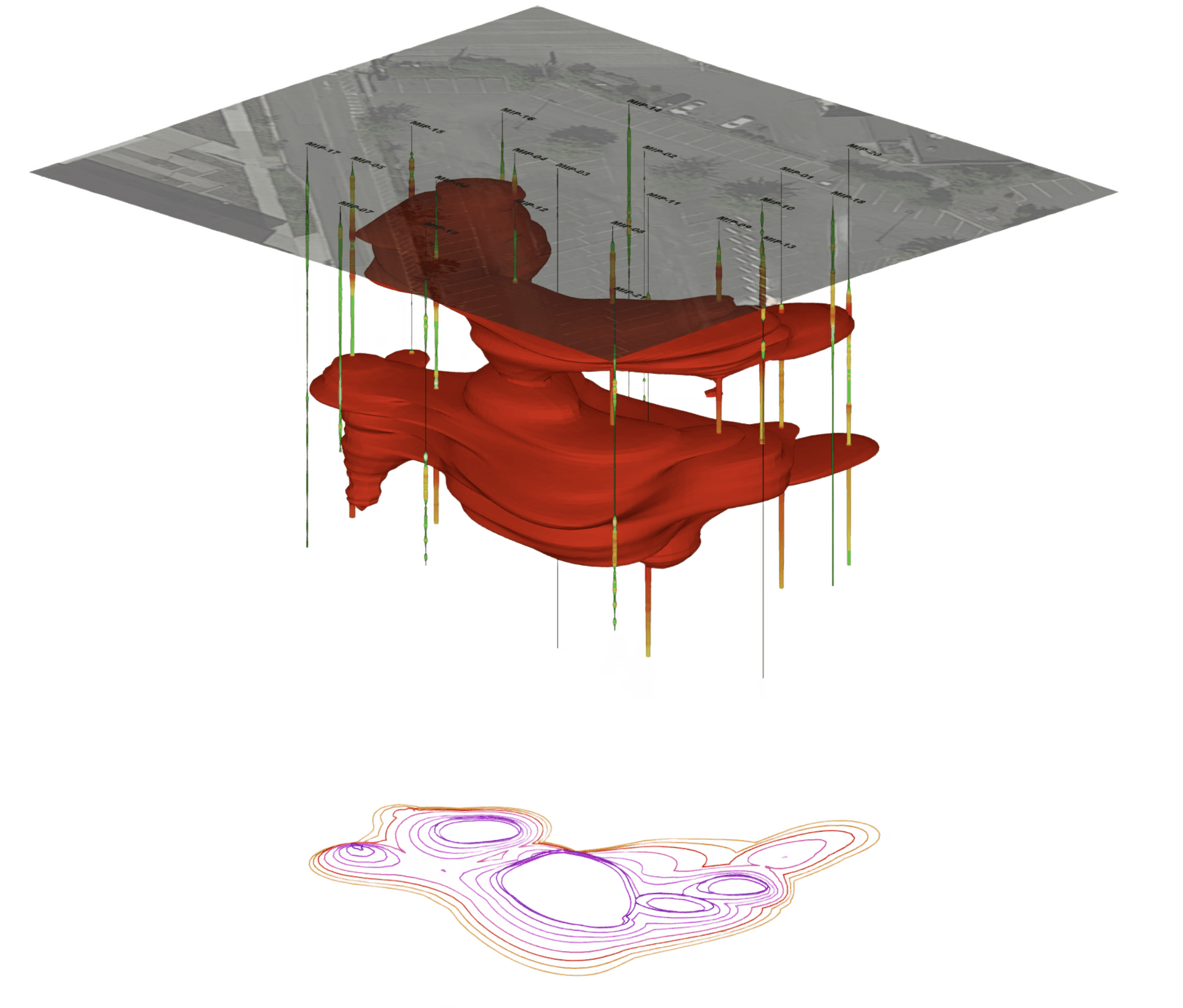
We transform HRSC sensor data into interactive 3D contamination models, lithologic cross-sections, and plan-view maps. Built with C Tech Development Corporation's Earth Volumetric Studio (EVS).
Full deliverables include 2D footprint maps, cross-sections, and depth-slice plans — complete spatial context from surface to source.
Explore our modelsReal-time, high-resolution subsurface data.
The clarity your site needs for faster, smarter decisions.
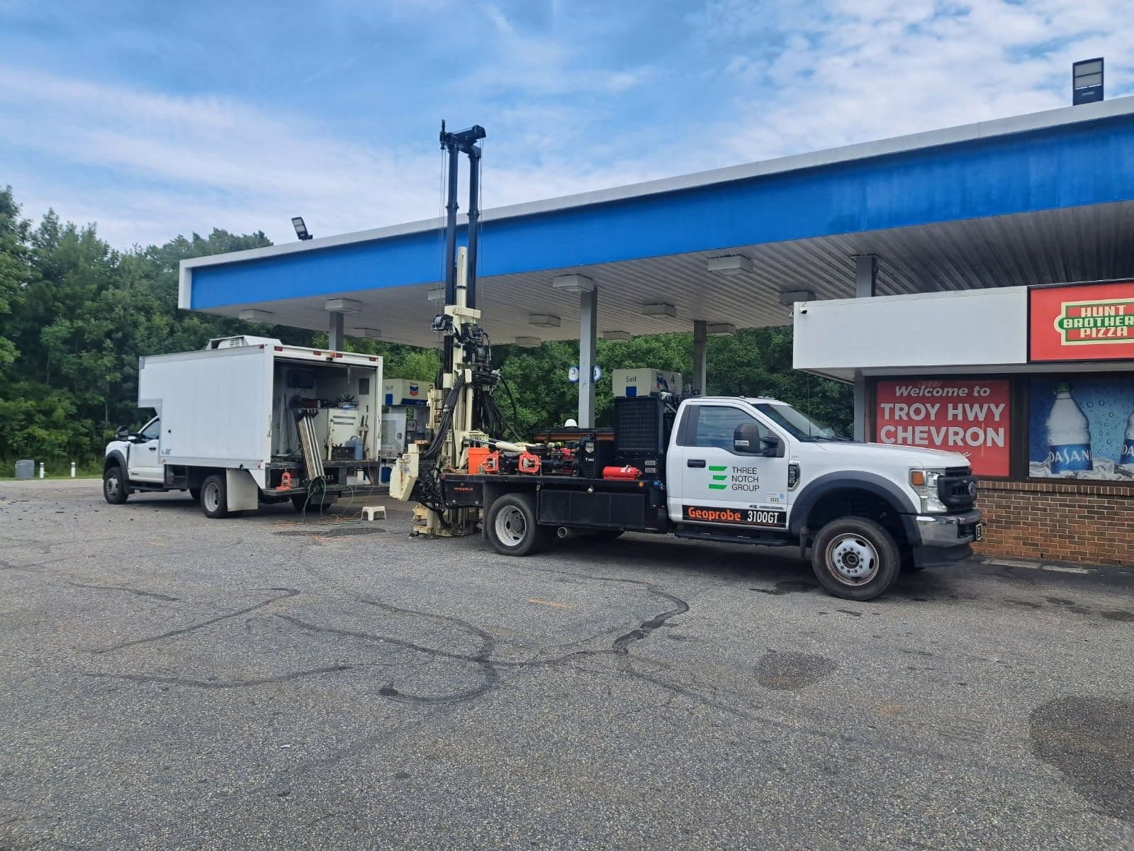
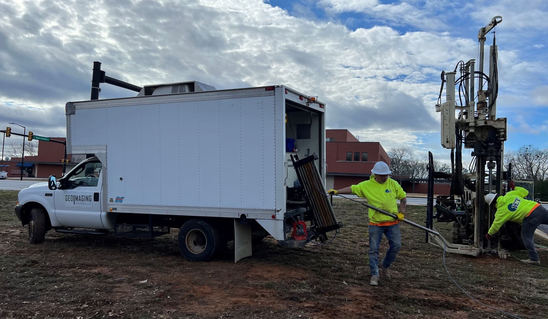
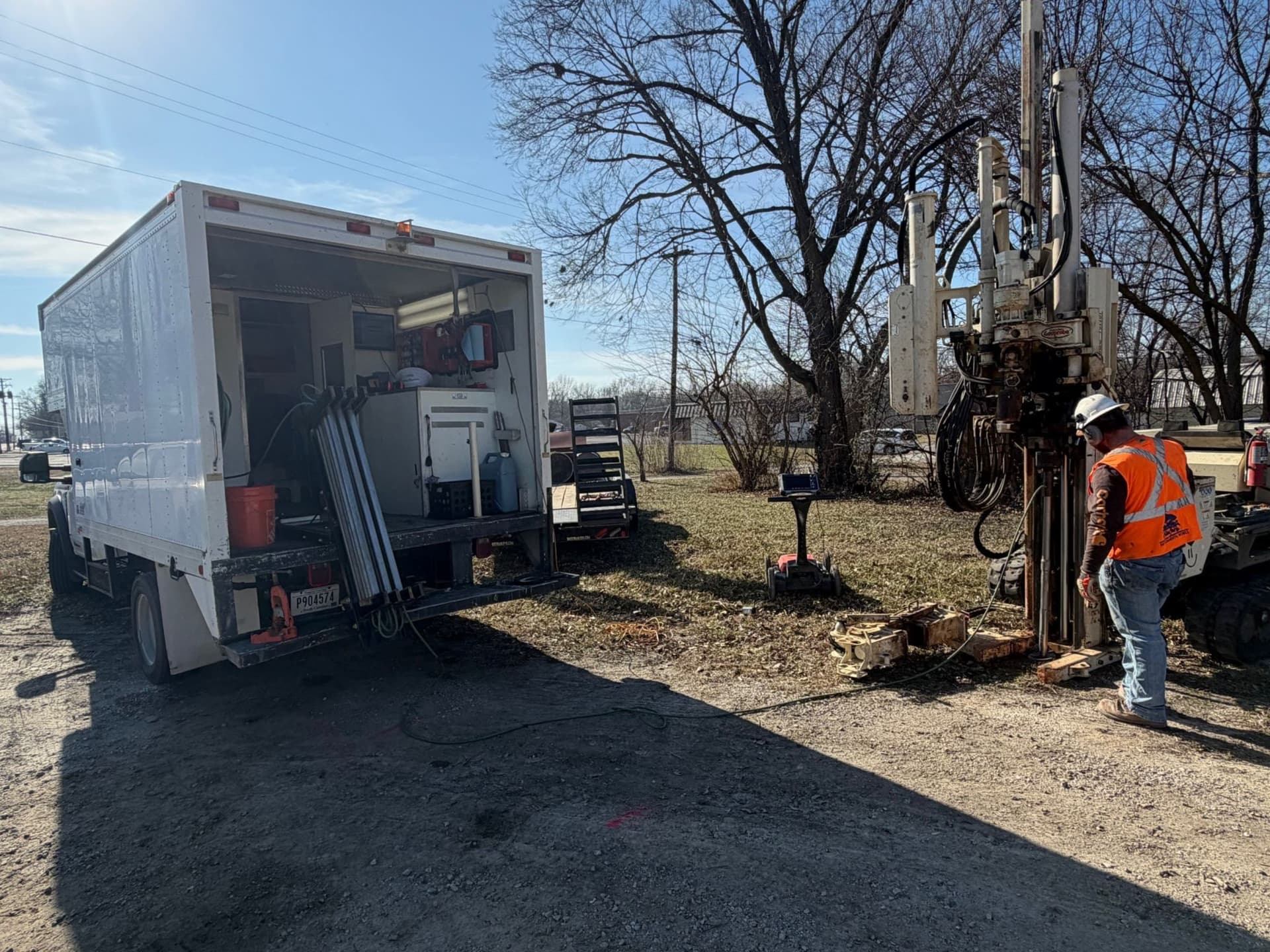
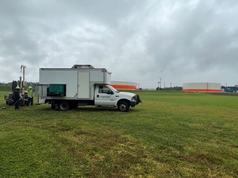
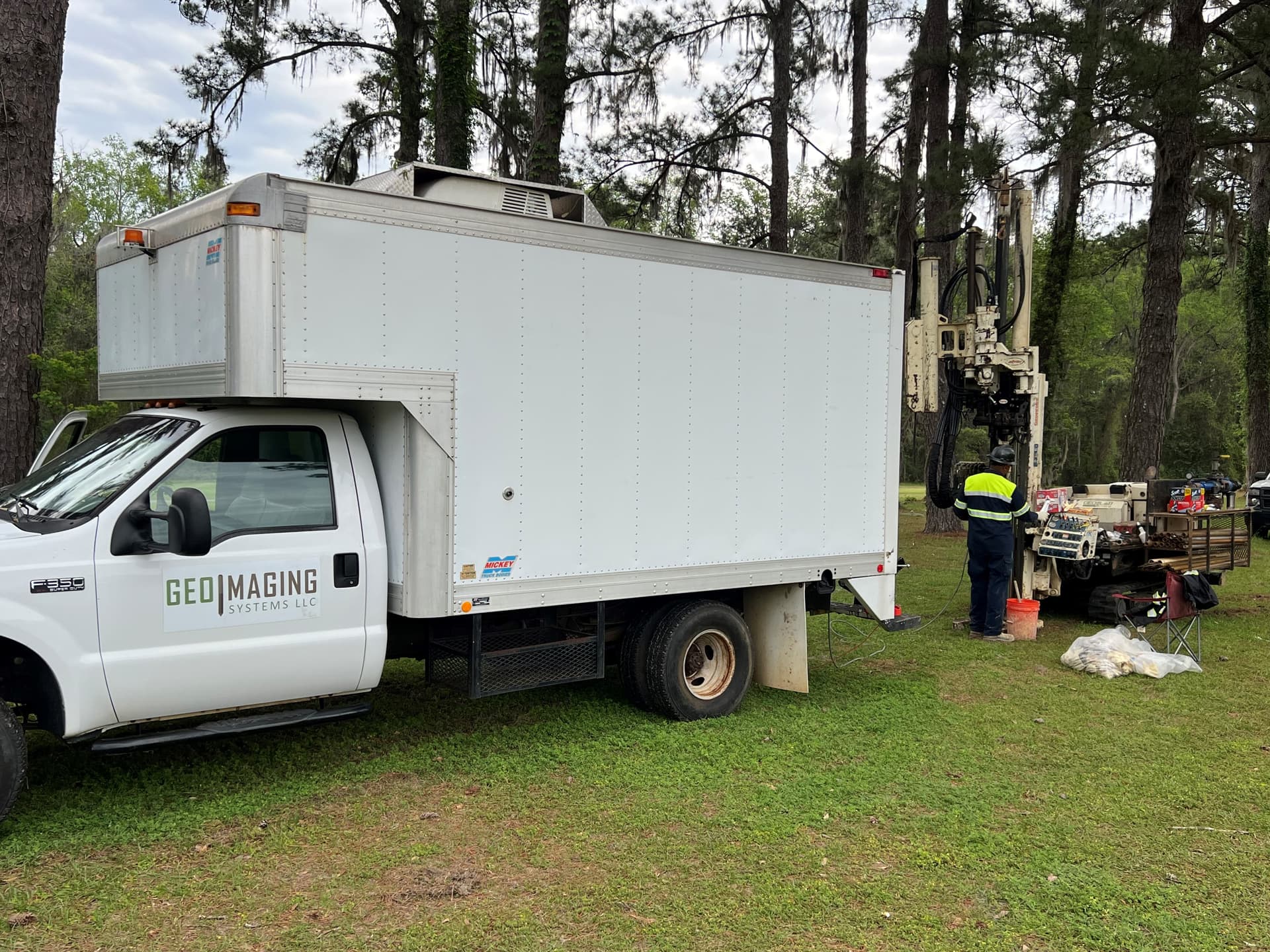
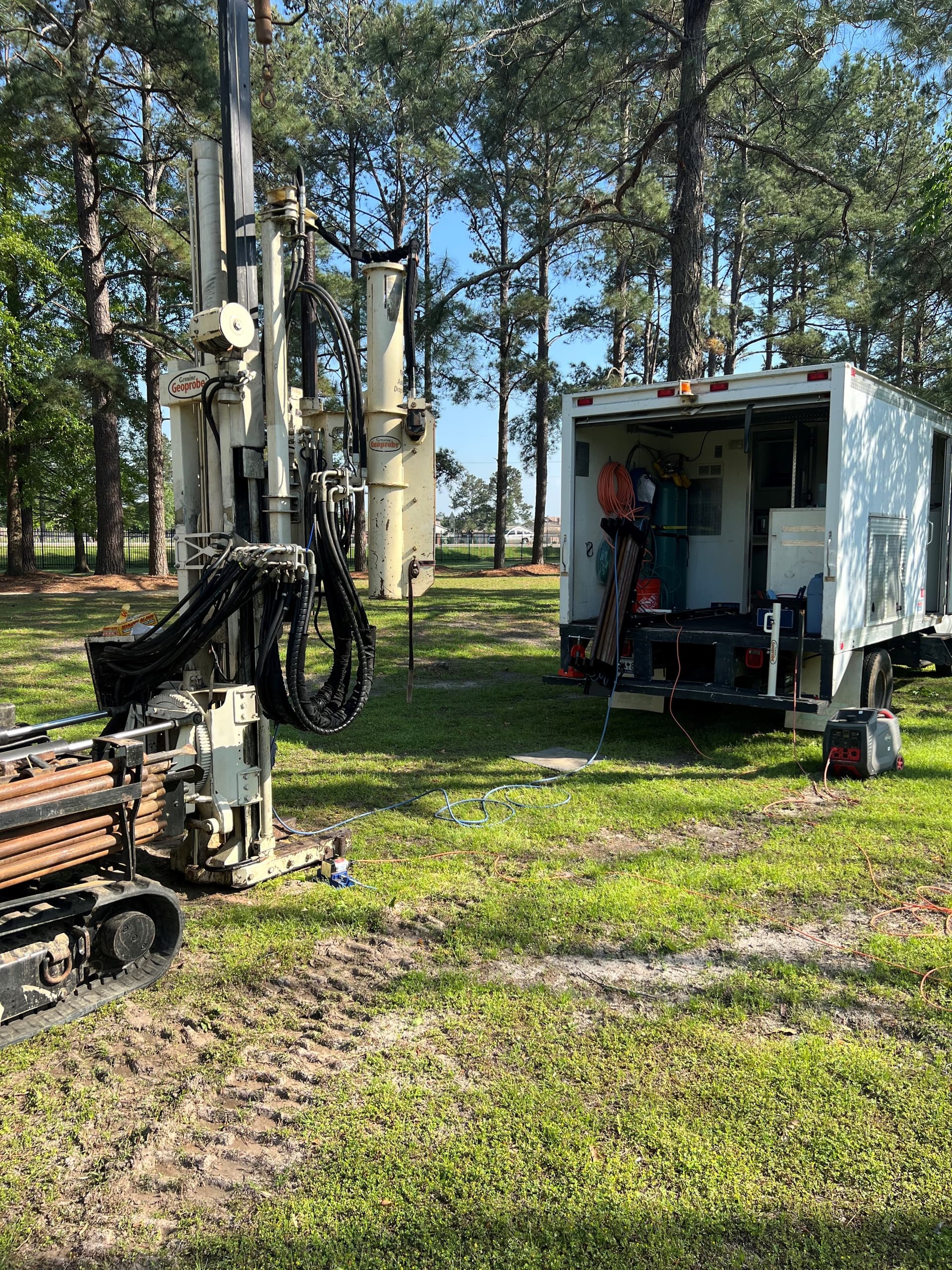
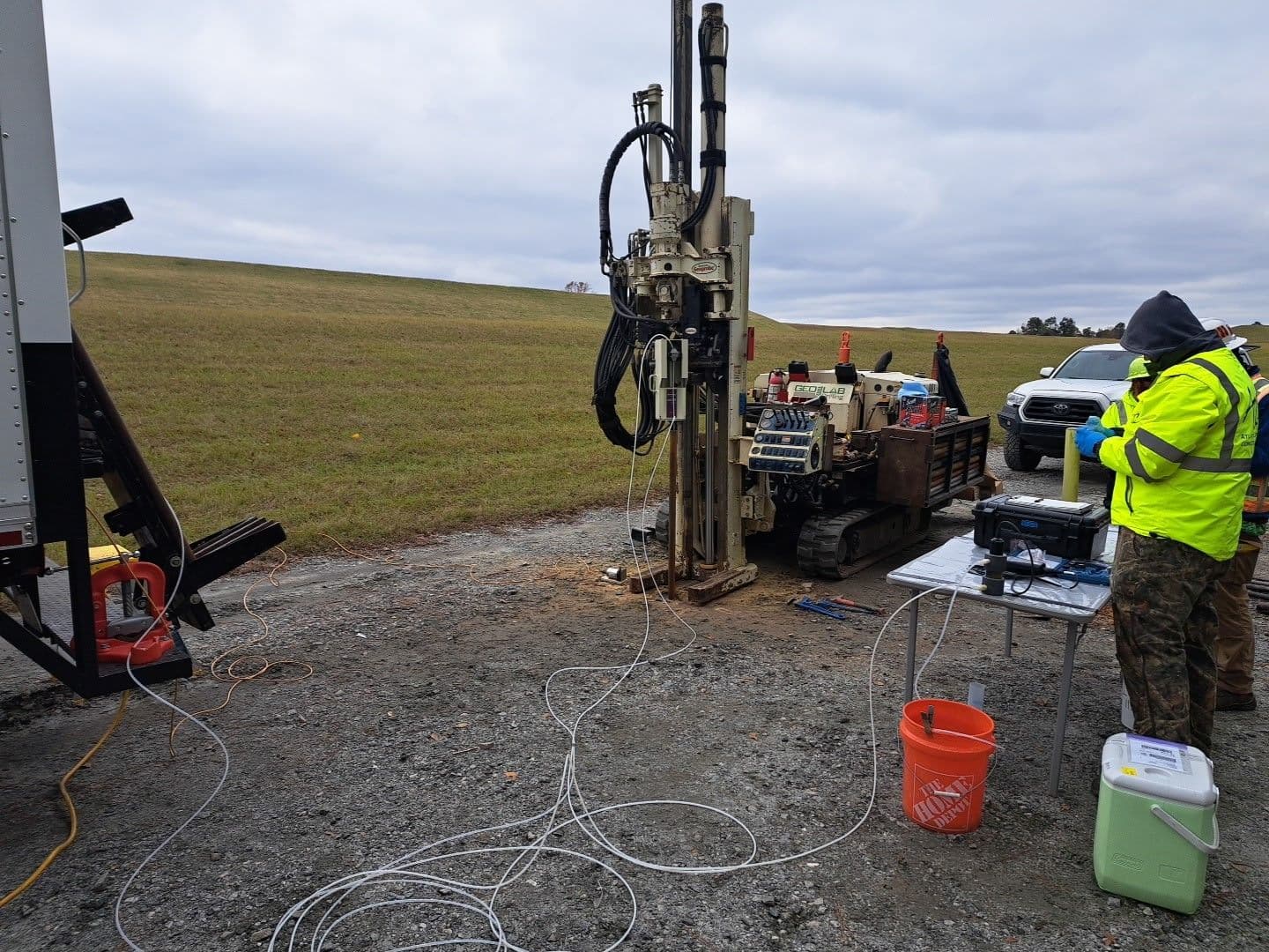
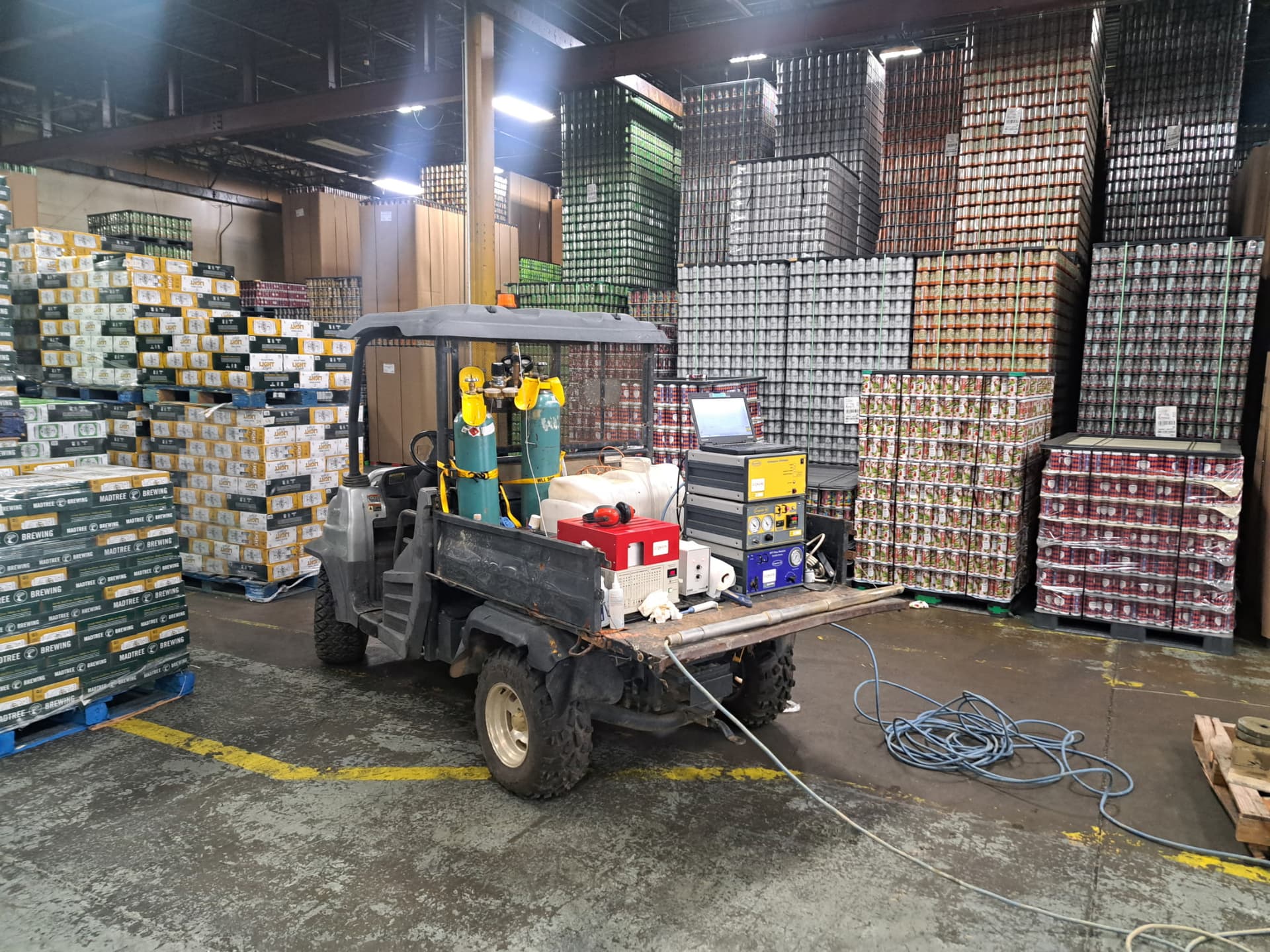
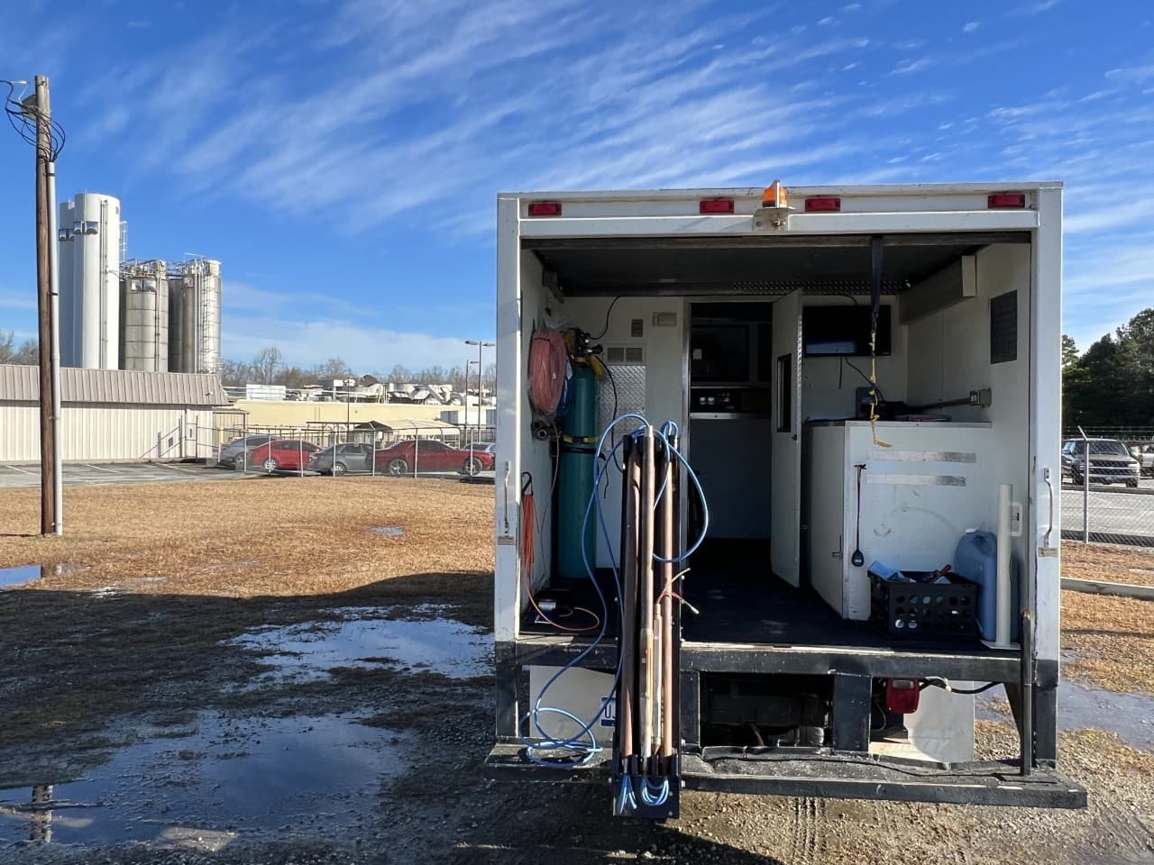
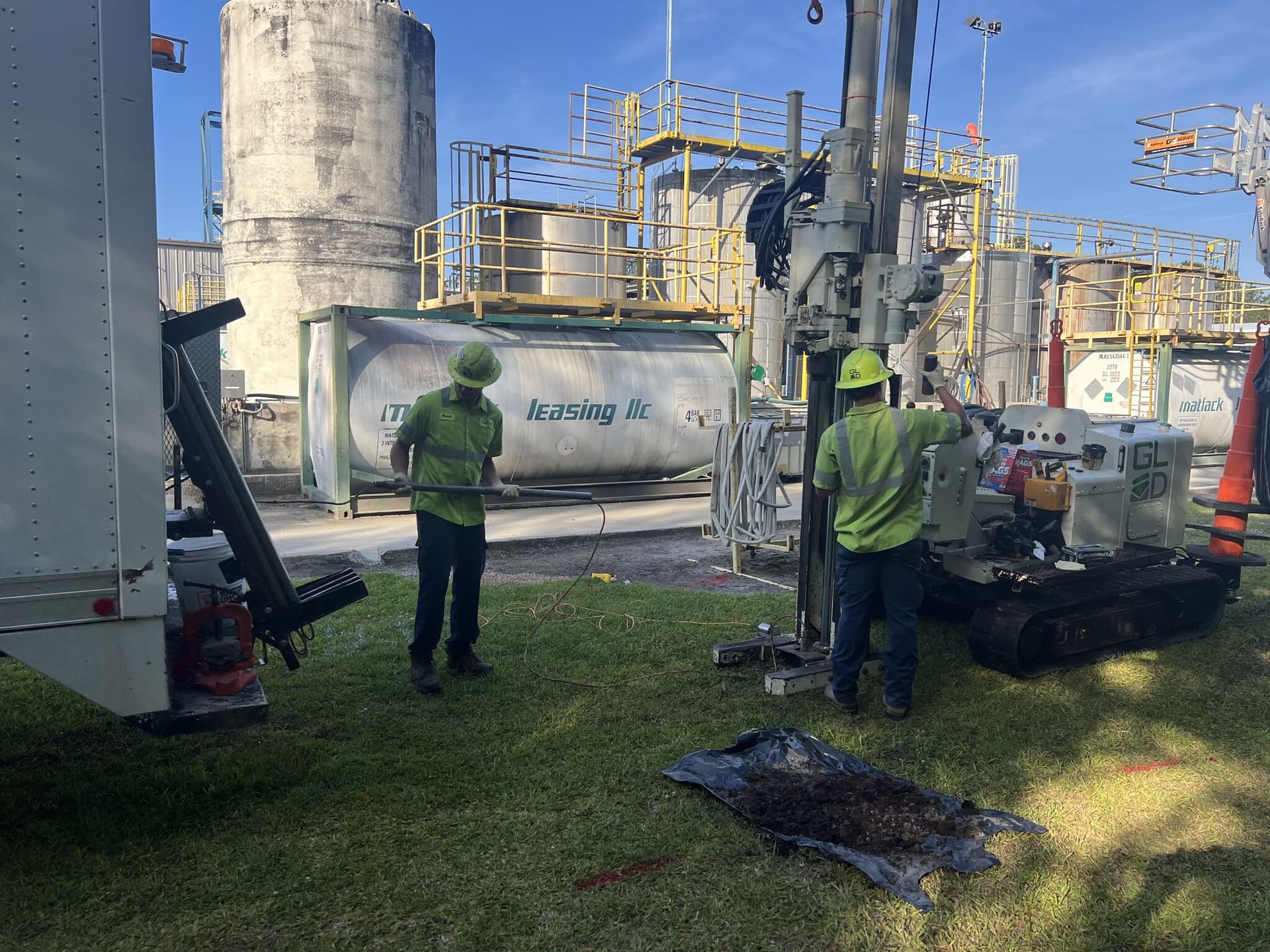
From the field